1857 Tremaine's Map of Oxford County
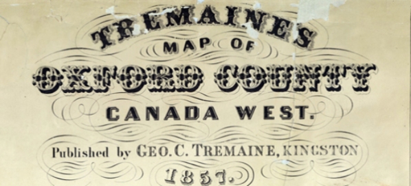
Tremaine's map of Oxford County, Canada West was published in 1857 by George C. Tremaine of Kingston, Ontario. Hand drawn by surveyor, William G. Wonham ; engraved by D & J McLellan ; with views hand coloured ambrotype by George R. Tremaine.
The map Includes 34 views of commercial, residential, and public buildings; legend keys four types of mill, plank and gravel roads, railways and post offices; names of owners and/or tenants shown in lots; subscribers directory; list of officers and clerks of the division courts. Towns and villages at larger scales.
The map includes settler names, buildings, agricultural, cultural, natural features and information and is divided into four quadrants.
North East corner of Oxford County map
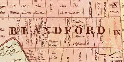
The north east map quadrant includes the townships of East Zorra, Blandford, Blenheim, as well as village maps for Springford, Norwich, Tillsonburg, Thamesford, Drumbo, Washington, Burgessville.
North West corner of Oxford County map
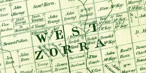
The north west map quadrant includes the townships of East Nissouri, West Zorra and part of East Zorra, as well as village maps for Plattsville, Otterville, Princeton, Ingersoll, Woodstock, Innerkip and Embro.
South East corner of Oxford County map
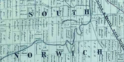
The south east map quadrant includes the townships of East Oxford, North Norwich and South Norwich.
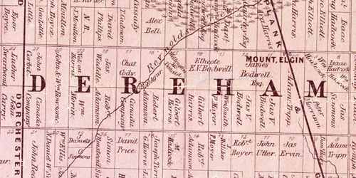
South West corner of Oxford County map
The south west map quadrant includes the townships of North Oxford, West Oxford, Dereham and village maps for Mount Elgin, Beachville.