Oxford Land Patent Plan Maps 1820-1851

Discover this visual resource as an aid to trace your ancestors’ Crown land records. These maps show the status of Crown lands in Oxford County, whether patented, leased, or under a license of occupation.
Recently made available by the Archives of Ontario this series consists of plans showing the status of Crown lands, whether patented, leased, or under a license of occupation. Until the late 1970s, patent plans were used within the Ministry of Natural Resources as a quick reference tool to show the alienation of Crown land.
Whenever a lot or a portion of a lot was patented, the patentee's name was inscribed on the plan in the appropriate place and the lot normally was marked with a "D" for "described". Later survey plans were obtained from other government sources such as land registry offices.
Several patent plans may exist for a town or township, and the information provided may vary among the plans. Particularly in the pre-Confederation period, these plans were used to record locations on land made for grants and sales. Often, however, the individuals named on the plans did not follow through with obtaining a patent on the land. Thus, in order to confirm that a patent was actually issued, it is necessary to examine other sources such as various indices to land patents.
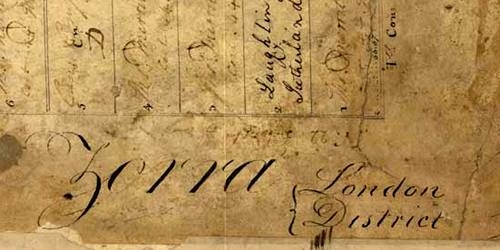
1820 Zorra Patent Plan map
A map detailing land patents applied for by early settlers in Zorra township.
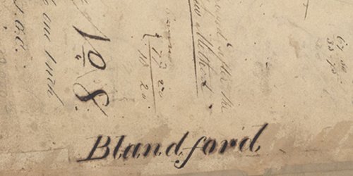
1826 Blandford Patent Plan map
A map detailing land patents applied for by early settlers in Blandford township.
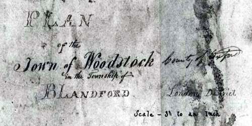
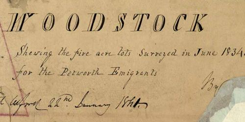
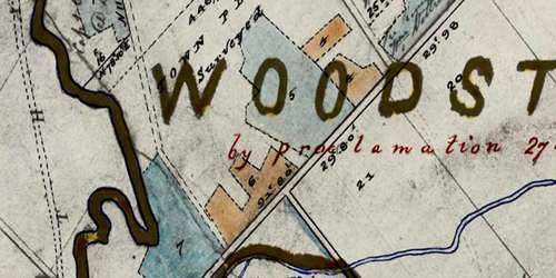
1833 north Woodstock Patent Plan map
A map detailing land patents applied for by early settlers in the northern portion of Woodstock, within Blandford township.
1841 north Woodstock Patent Plan map
A map detailing land patents applied for by early settlers in northern portion of Woodstock, within Blandford township.
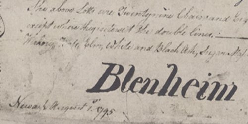
1843 Blenheim Patent Plan map
A map detailing land patents applied for by early settlers in Blenheim township.
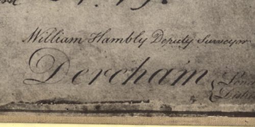
1843 Dereham Patent Plan map
A map detailing land patents applied for by early settlers in Dereham township
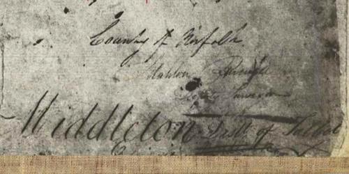
1843 Middleton Patent Plan map
A map detailing land patents applied for by early settlers in Middleton township, Norfolk County, which borders Tillsonburg
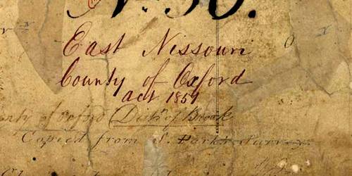
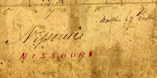
1843 Nissouri Patent Plan map
A map detailing land patents applied for by early settlers in Nissouri township
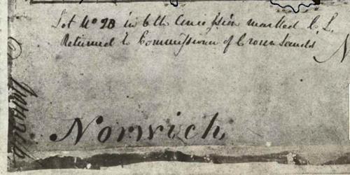
1843 North & South Norwich Patent Plan map
A map detailing land patents applied for by early settlers in North & South Norwich townships.
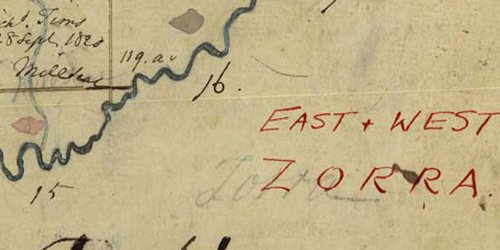
1843 West & East Zorra Patent Plan map
A map detailing land patents applied for by early settlers in West & East Zorra townships.
1850 central Oxford Patent Plan map
A map detailing land patents applied for by early settlers in the central region of Oxford. Woodstock, Zorra, Blandford, Oxford East and West are shown.
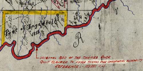
1850 North Oxford Patent Plan map
A map detailing land patents applied for by early settlers in the Ingersoll area and North Oxford township
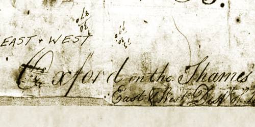
1851 Oxford-on-the-Thames Patent Plan map
A map detailing land patents applied for by early settlers in Ingersoll the surrounding West & North Oxford townships
1851 West & East Nissouri Patent Plan map
A map detailing land patents applied for by early settlers in West & East Nissouri township