1896 New Map of Oxford County by L. Bolton & Son
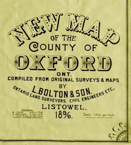
Compiled from original surveys and maps by L. Bolton & Son, Listowel, Ontario. Printed at Toronto by Hough & Harris, Lithographers.
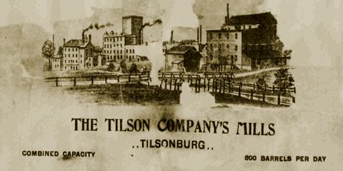
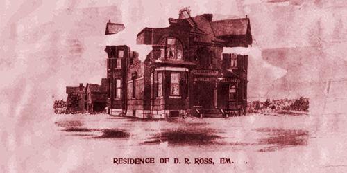
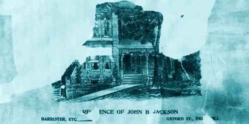
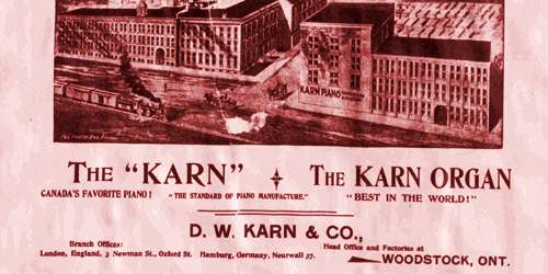
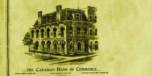
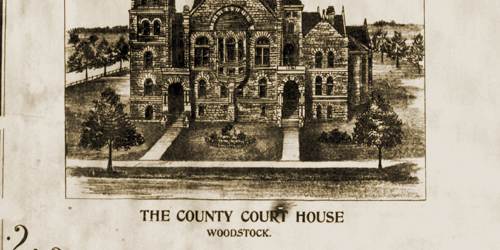
The map Includes views of commercial, residential, and public buildings; legend keys four types of mill, plank and gravel roads, railways and post offices.
The map includes settler names, buildings, agricultural, cultural, natural features and information and is divided into nine sections.
1896 Oxford Central Map
Depicting land owners in the central area of Oxford, including townships of West Oxford, East Oxford, Dereham, North Norwich, South Norwich. Villages of Tillsonburg, Eastwood, Ingersoll, Woodstock, Norwich.
1896 Oxford East Centre Map
Depicting land owners in the east centre area of Oxford, including townships of North Norwich & South Norwich. Villages of Burgessville, Norwich, Otterville.
1896 Oxford North Centre Map
Depicting land owners in north centre area of Oxford, including townships of West Zorra, East Zorra & Blandford, villages of Embro, Tavistock, Woodstock, Eastwood & Beachville.
1896 Oxford North East Map
Depicting land owners in the north east corner of Oxford, including townships of Blandford & Blenheim, villages of Eastwood, Plattsville, Princeton.
1896 Oxford North West Map
Depicting land owners in the north west corner of Oxford, including townships of East Nissouri & West Zorra, Harrington, Embro & Thamesford.
1896 Oxford South Centre Map
Depicting land owners in the south centre area of Oxford, including townships of Dereham, North Norwich, South Norwich. Villages of Tillsonburg, Springford, Otterville.
1896 Oxford South East Map
Depicting land owners in the south east corner of Oxford, including township of South Norwich. Village of Otterville.
1896 Oxford South West Map
Depicting land owners in the south west corner of Oxford, including township of Dereham. Villages of Mount Elgin, Brownsville, Culloden, Dereham Centre.
1896 Oxford West Centre Map
Depicting land owners in the west centre area of Oxford, including townships of North Oxford, West Oxford & Dereham. Villages of Salford, Brownsville, Mt. Elgin, Ingersoll & Beachville.