Zorra
1896 Oxford South West Map
Depicting land owners in the south west corner of Oxford, including township of Dereham. Villages of Mount Elgin, Brownsville, Culloden, Dereham Centre.
1904 Ingersoll Fire Insurance Map
Originally published by Charles Goad in June 1885 and updated in 1904, this map depicts the core area of Ingersoll

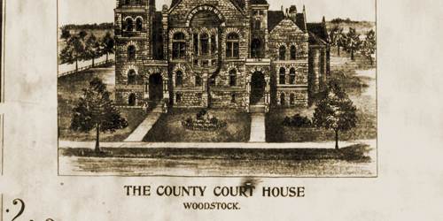
History of Zorra
Delve into Zorra’s past, through local resources and groups devoted to preserving the past.
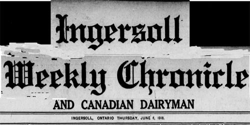
Ingersoll Weekly Chronicle, April 1913 - December 1919
Digitized and keyword searchable newspaper database, made possible by Canadiana.ca & CKRN.
Oxford County Cemeteries
Search the headstone photograph database, containing the 102 cemeteries found in Oxford County. Under each respective former township are listed the cemeteries found within it's borders.

Oxford Directories
Search the Oxford directories to find information on historic businesses and citizens.

Oxford Land
Find interactive atlases, maps and land registries from OnLand, the Historical County Map Project by U of T and the McGill University Map Project.

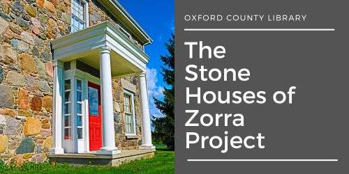
The Stone Houses of Zorra Project
Explore elements of rural field stone architecture & the stories of the people behind the buildings.
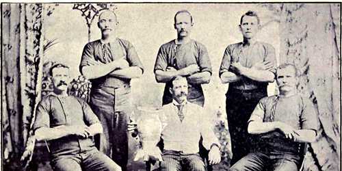
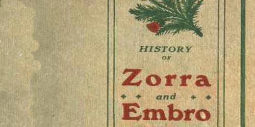
Zorra Local History Books
Search indexed local history books, now long out-of-print, for valuable details from Zorra’s past.
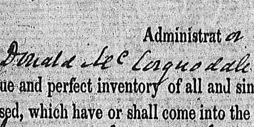
Zorra Records
Explore completely digitized historical census records, wills and estate files.
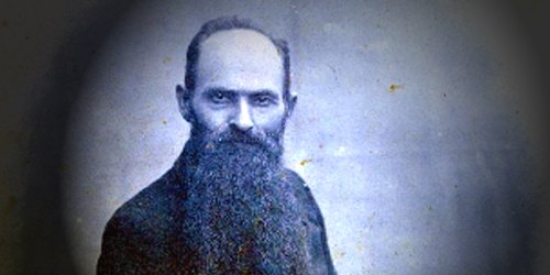
Zorra’s People
Discover Zorra’s founders and those individuals who continued to shape it’s future over the years.