South-West Oxford
1896 Oxford South West Map
Depicting land owners in the south west corner of Oxford, including township of Dereham. Villages of Mount Elgin, Brownsville, Culloden, Dereham Centre.
1904 Ingersoll Fire Insurance Map
Originally published by Charles Goad in June 1885 and updated in 1904, this map depicts the core area of Ingersoll

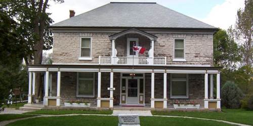
Beachville District Museum
Discover Beachville’s rich history through photographs and exhibits. Learn about the first recorded baseball game and one of Oxford Counties first settlements.
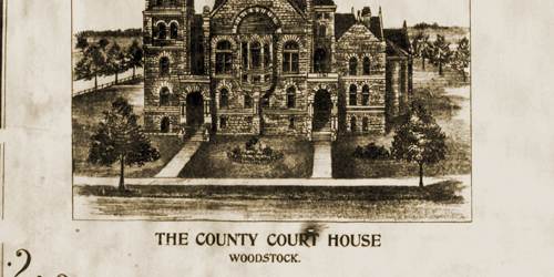
History of South-West Oxford
Discover the history of South-West Oxford through scrapbooks, historical plaques, hamlets and blogs.

Ontario Ancestors Oxford County
Ontario Ancestors focuses on collecting and preserving information that will be useful for anyone doing research on ancestors from Oxford County.
Oxford County Cemeteries
Search the headstone photograph database, containing the 102 cemeteries found in Oxford County. Under each respective former township are listed the cemeteries found within it's borders.

Oxford Directories
Explore directories to discover historic businesses and citizens

Oxford Land
Find interactive atlases, maps and land registries from OnLand, the Historical County Map Project by U of T and the McGill University Map Project.

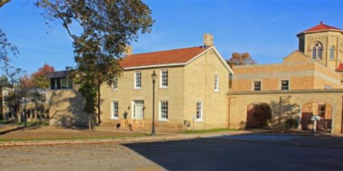
Salford Heritage Museum
Visit the Salford Heritage Museum found in the Village Cheese Mill to learn about the famous evangelist Aimee Semple McPherson, browse through old tools, school books, scrapbooks and more.

South West Oxford Local History Books
Search indexed local history books, now long out-of-print, for valuable details from South-West Oxford’s past.

South West Oxford Records
Explore completely digitized census records, wills and estate files.

South West Oxford's People
Discover the lives of settlers & people who shaped the township's history.

South-West Oxford History Pin
Find the communities of South-West Oxford including Brownsville and Beachville on History pin. Explore the architectural past through.
